Herding-cattle, wild buffalo from space
More than 1000 feral buffalo and unmanaged cattle roaming Northern Australia will be tagged and tracked as part a satellite herd-tracking program, announced today by Australia’s national science agency, CSIRO. 25 November 2020
 2 minute read
Coinciding with National Reconciliation Week this week, the $4 million, 3.5 year project aims to turn the destructive pests into economic, environmental and cultural opportunities for Indigenous communities across the region, as well as create new 'best practice' for managing large herds using space technology.
Satellite GPS-tracking tags will be attached to the animals' ears and deliver real-time, geographically-accurate insights into herd density, accessibility, and transport costs.
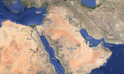
The animals will be tracked across a combined area of 22,314 square kilometres, taking in the Arafura swamp catchment in Arnhem Land in the Northern Territory, and Upper Normanby and Archer River on Cape York Peninsula in Queensland.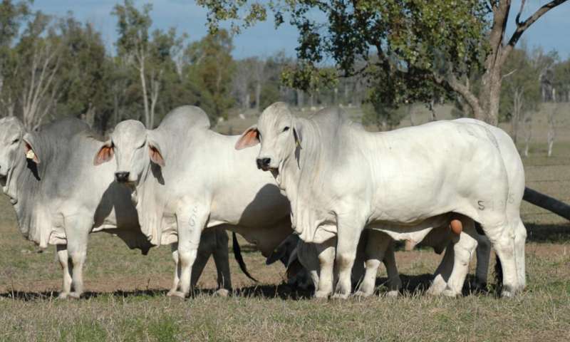
CSIRO Chief Executive Dr Larry Marshall said the program demonstrated the opportunities for Australia in growing our own space capabilities and supply chains while also advancing reconciliation.
"Australia's burgeoning space industry is creating exciting new possibilities for innovative science and technology to solve our greatest challenges, like using satellites to manage our wide, open land in more culturally and environmentally sensitive ways," Dr Marshall said.
"This unique partnership is a reminder that the new frontier of space is an opportunity to learn from the mistakes of our past, and work alongside Aboriginal and Torres Strait Islander people to ensure that space-enabled technology is being put to best use to improve the land we all share."
The collaborative program will see CSIRO and Charles Darwin University develop the data management tools; James Cook University create the GPS-tracking ear tags; satellite company Kineis provide access to their satellite fleet and technical expertise; and the North Australian Indigenous Land and Sea Management Alliance Ltd (NAILSMA) drive efforts on the ground in partnership with Mimal Land Management Aboriginal Corporation, Aak Puul Ngangtam Ltd, and Normanby Land Management.
NAILSMA Chief Executive Ricky Archer said the program would create opportunities for economic development, landscape restoration and the protection of cultural sites.
"Using the information the ear tags generate, rangers and land managers can access more precise decision-making tools about where they focus efforts to reduce the impacts of buffalo and cattle grazing and eroding native flora and fauna," Mr Archer said.
"As our environment recovers, it will be more resilient in the face of fires, invasive plants and climate change, and we’ll be able to protect sites of cultural significance to Indigenous Australians."
"Over the course of the project, we’ll also be developing best-practice ethical mustering and handling guidelines so these animals can become part of the ethically-sourced meat industry, creating more jobs in our communities."
The project is being funded by Department of Agriculture, Water and the Environment under the National Landcare Program; Smart Farming Partnerships initiative.
It is focused on helping indigenous communities protect their environment and culture, while maintaining sustainable production.
Separately, CSIRO is working with agtech company Ceres Tag to commercialise smart ear tag technology for Australia’s $17 billion livestock industry. For primary producers interested in smart ear tags, visit Ceres Tag for more information.